Migratory Bird Corridor
Maullín–Chiloé: a network of coastal wetlands essential to migratory shorebirds.
Maullín–Chiloé: a network of coastal wetlands essential to migratory shorebirds.
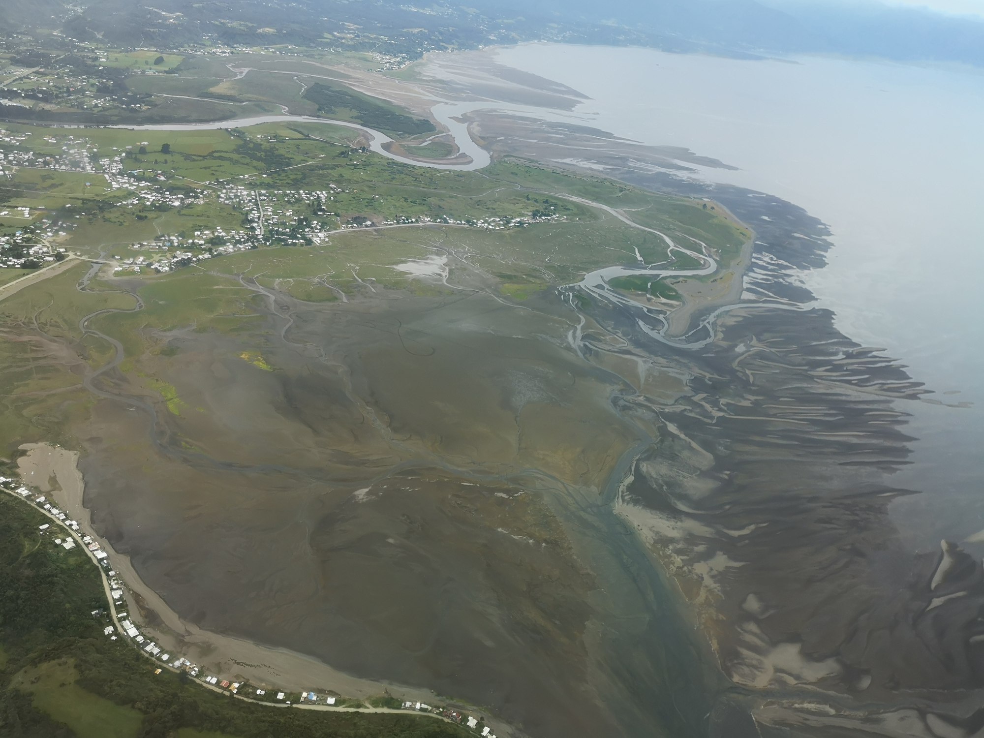
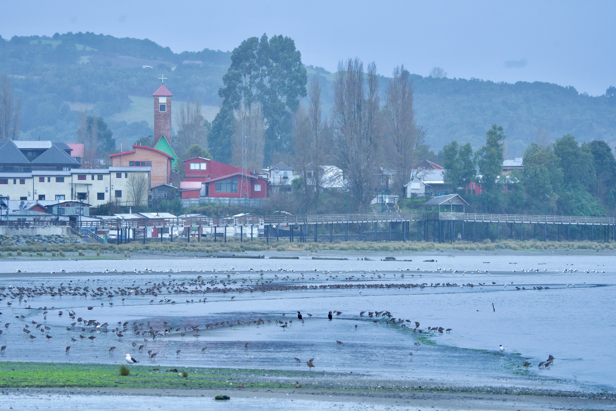
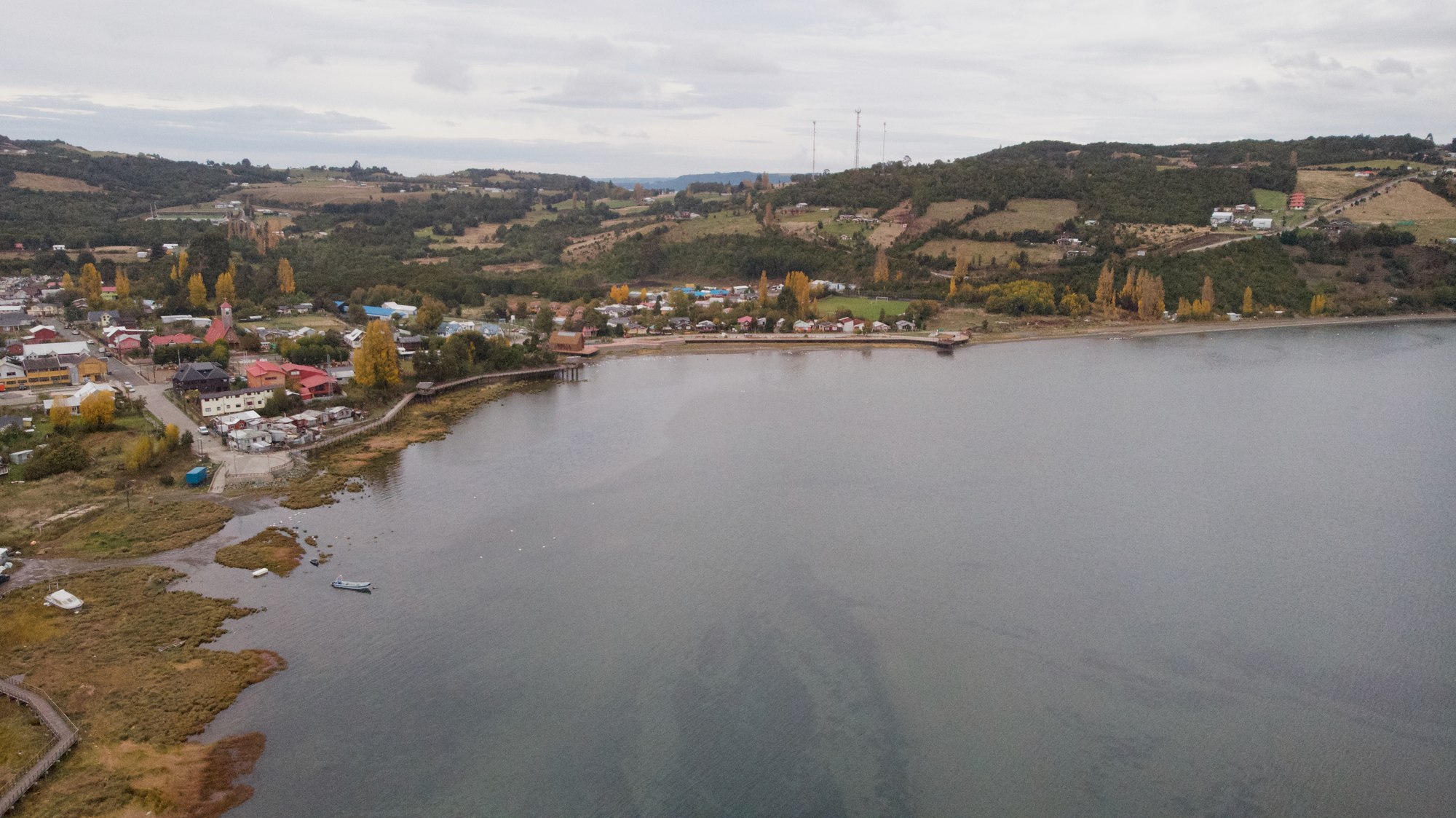
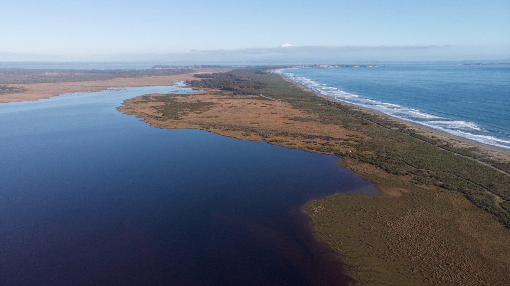
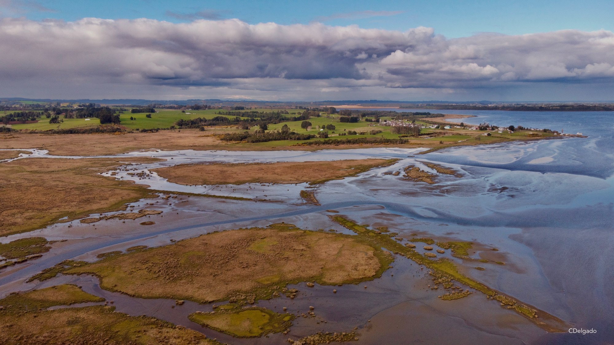
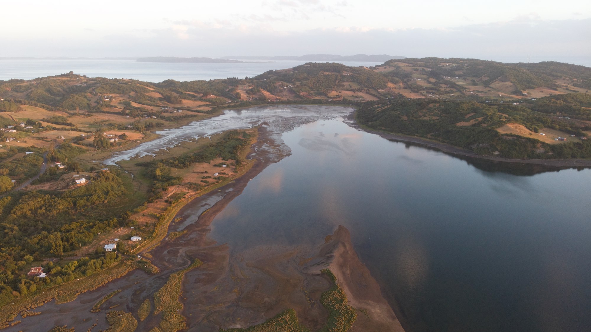
In the Los Lagos Region, in southern Chile's Northern Patagonia, estuaries, salt marshes, beaches, river mouths, and extensive intertidal flats form a connected network of coastal wetlands spanning Maullín, Calbuco, Coihuín–Chamiza, and multiple marine wetlands of Chiloé, such as Curaco de Vélez and Bahía Quinchao.
This bird corridor provides essential feeding, resting, shelter, and breeding areas for resident and migratory birds. It hosts at least 20 boreal migratory species and seven Neotropical migratory species.
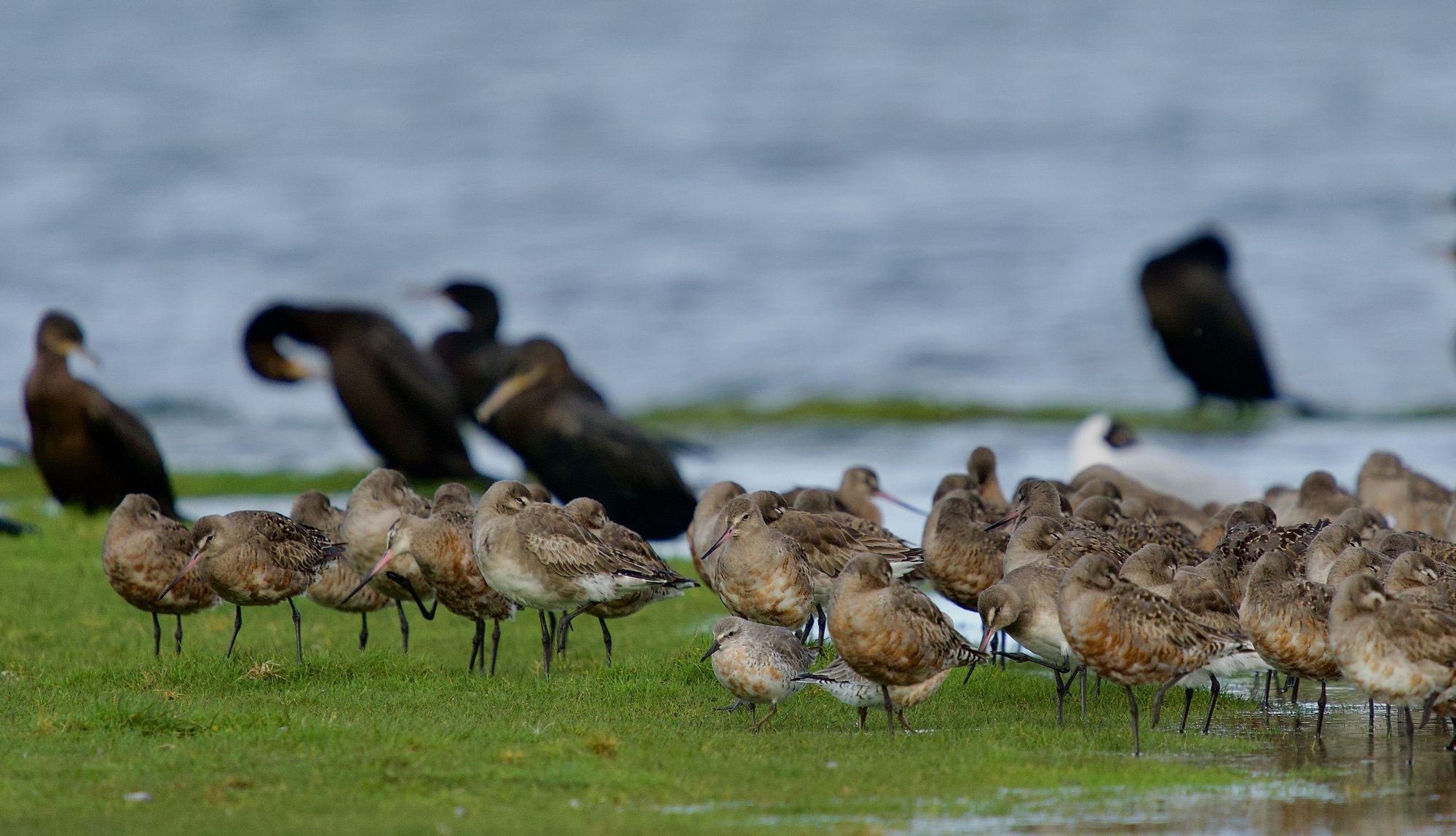
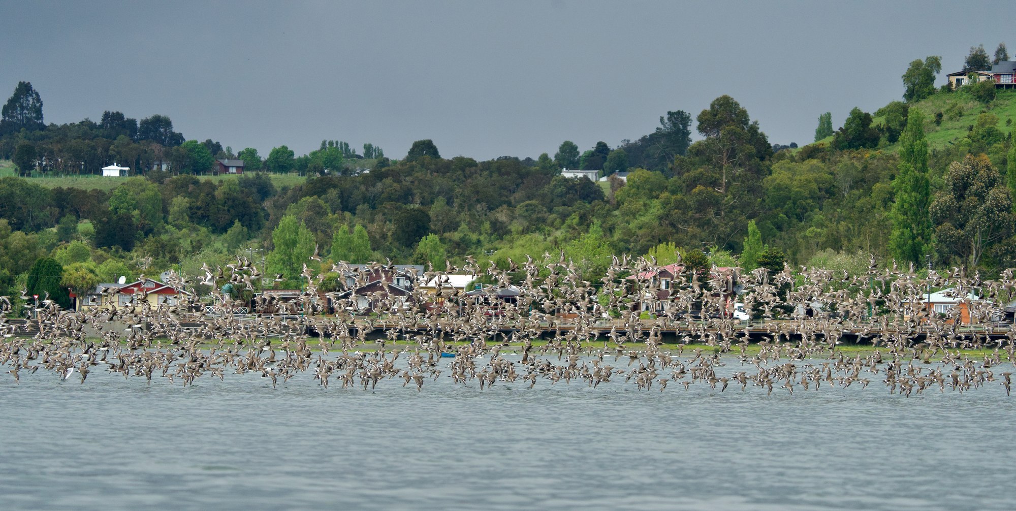
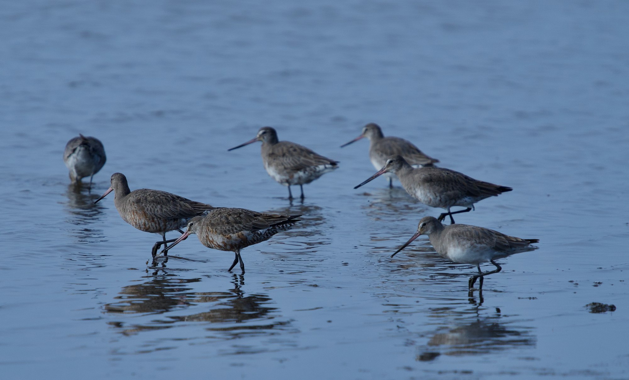
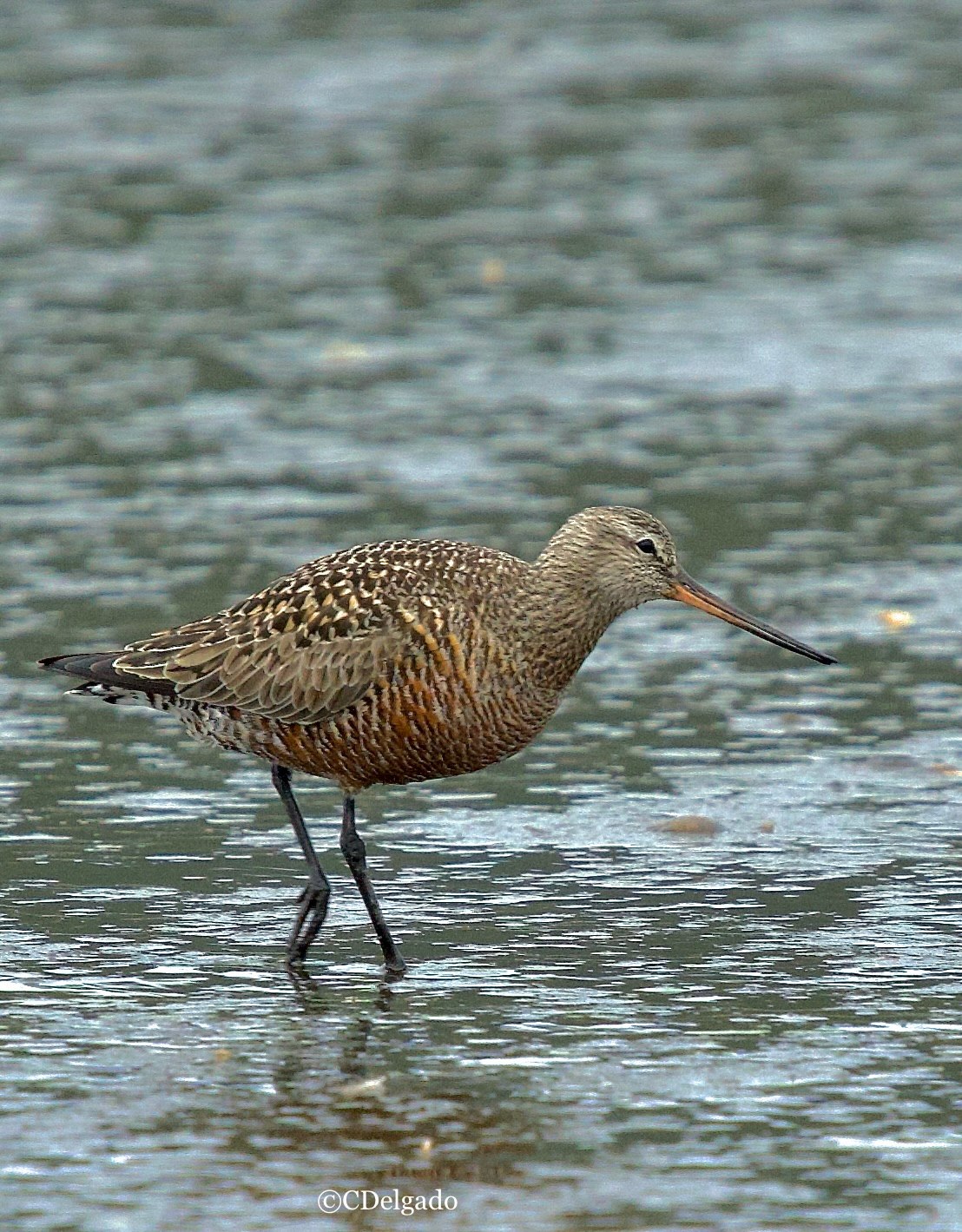
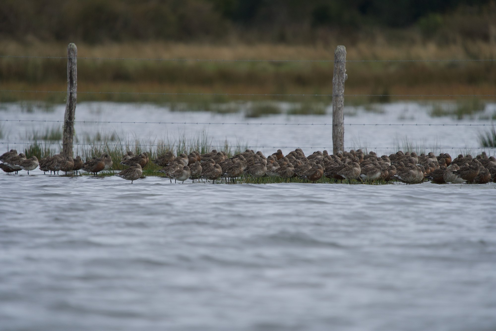
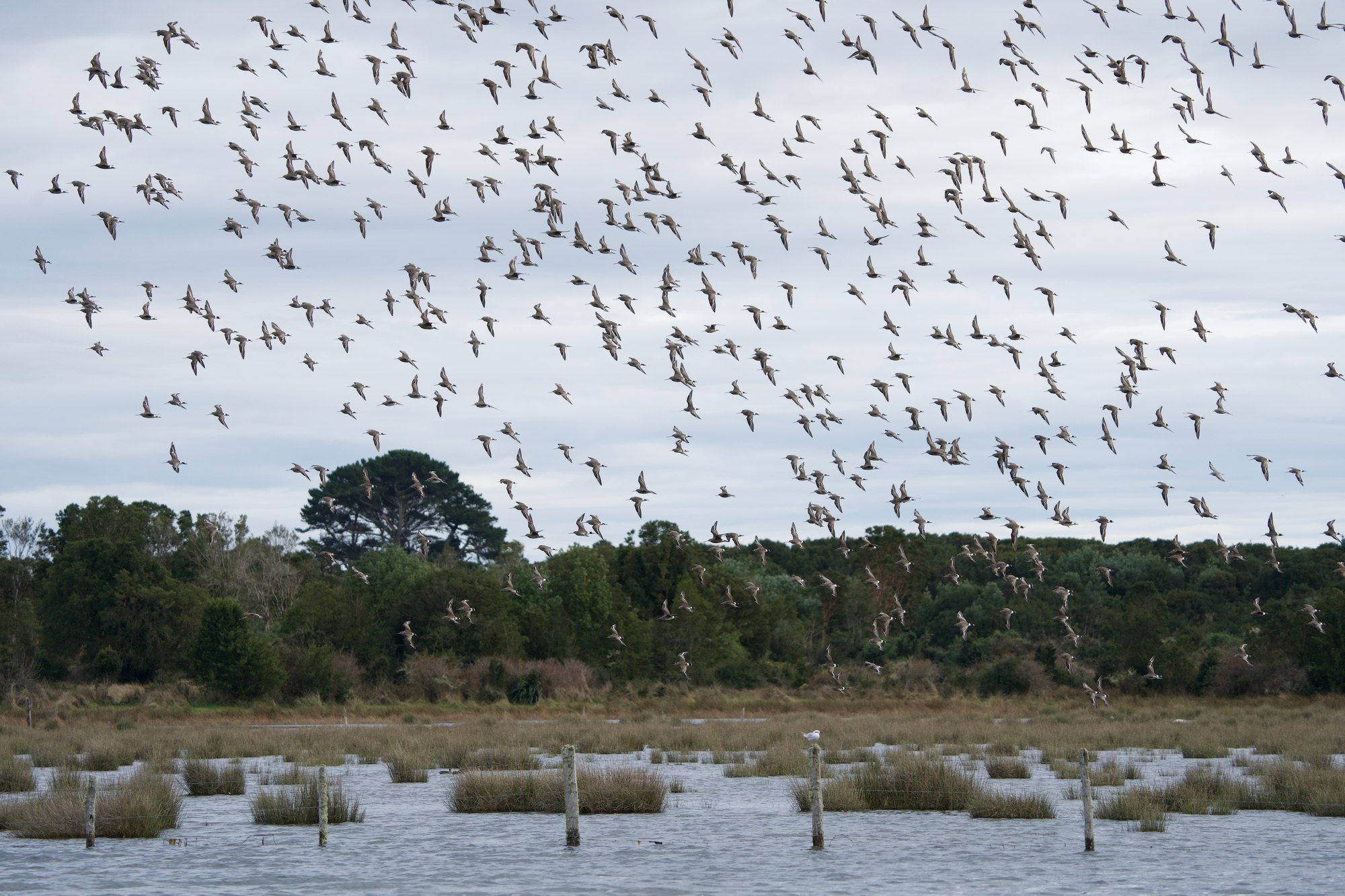
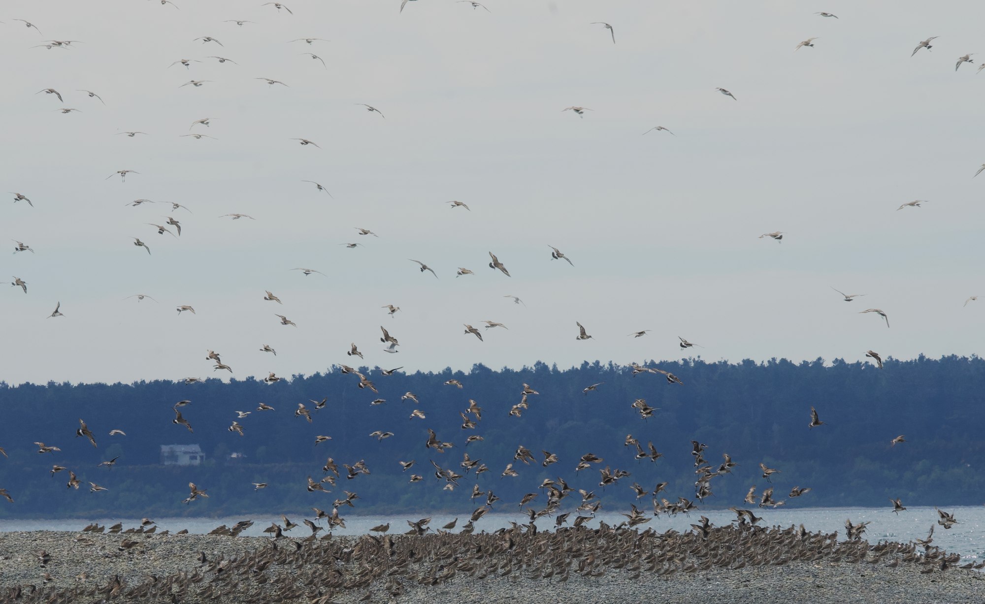
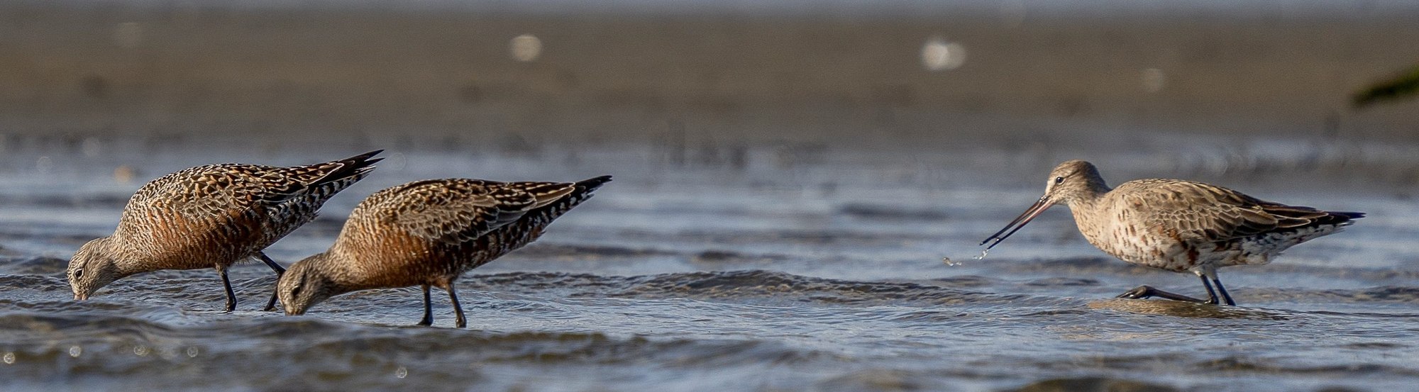
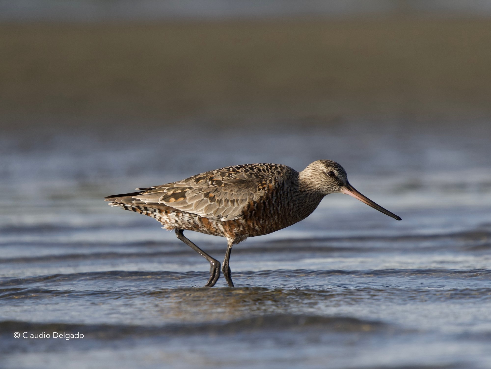
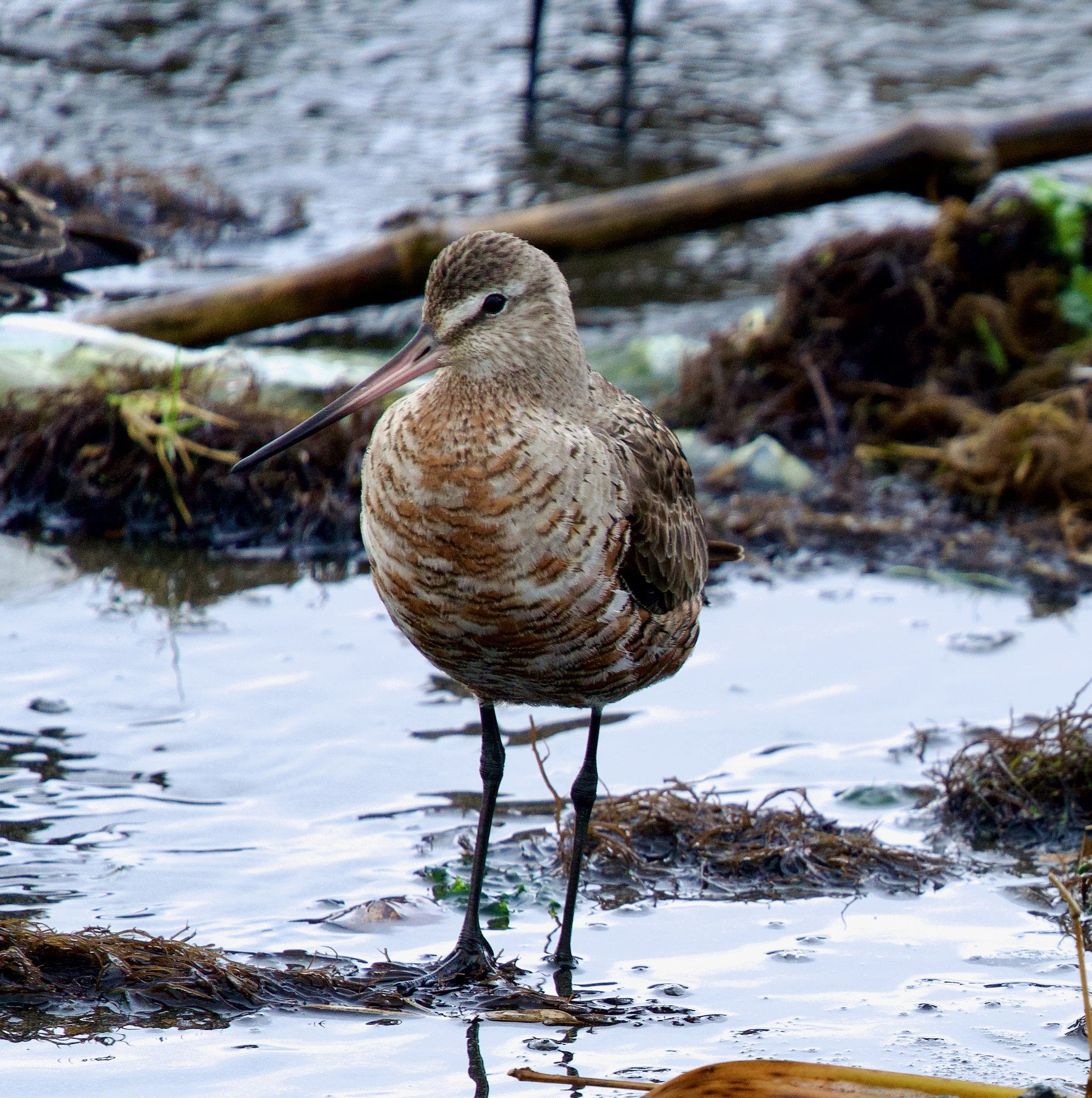
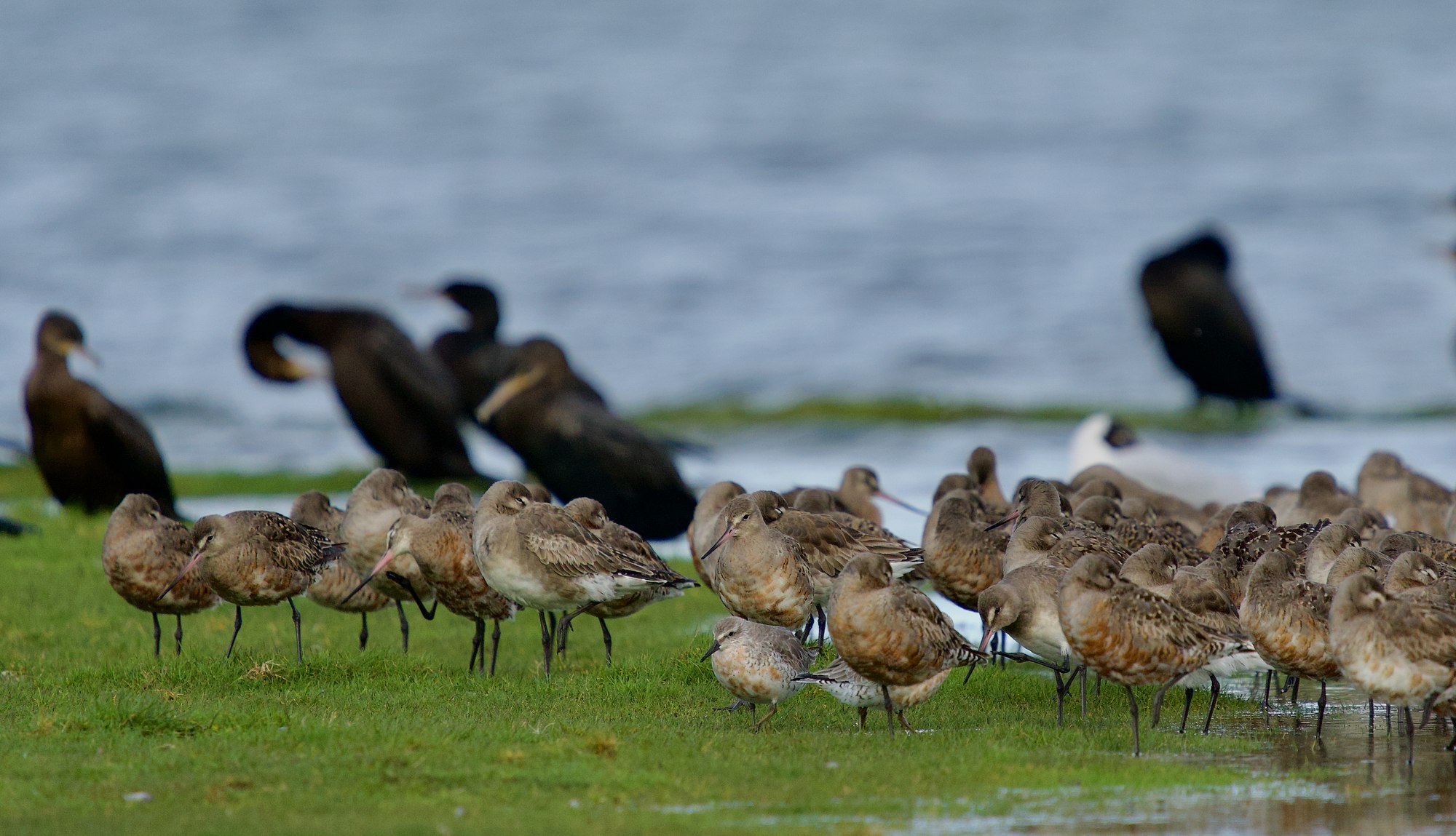
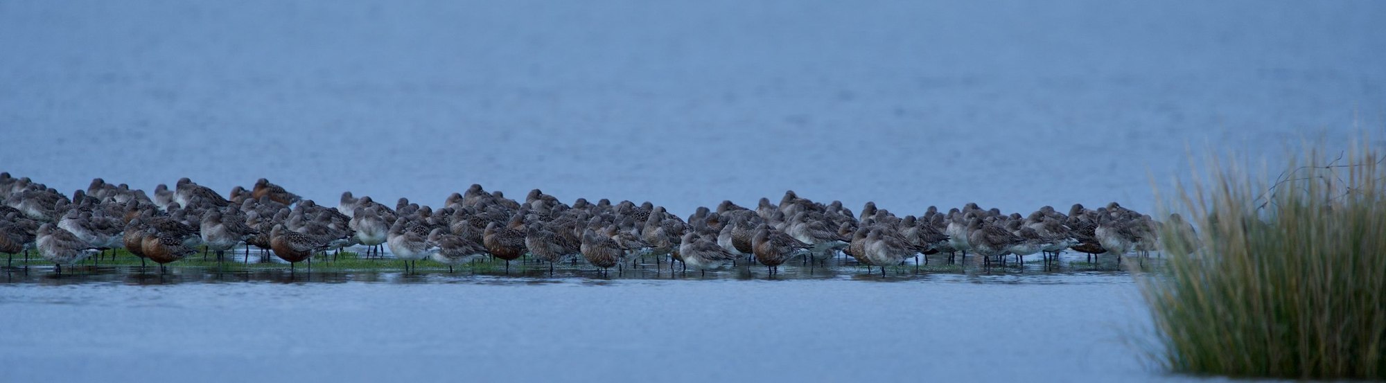
Among them, the Hudsonian godwit (Limosa haemastica) stands out. The corridor's wetlands support approximately 99% of the population that breeds in Alaska and migrates along the Pacific Flyway, making this system an area of critical importance for its conservation.
Birds move continuously among these wetlands according to tides, food availability, and environmental conditions. Conserving them therefore requires protecting not only individual sites, but also the ecological connectivity of the corridor.
Throughout its development, this conservation program has counted on the fundamental support of BIOME–ICFC, the Western Hemisphere Shorebird Reserve Network (WHSRN), Manomet Inc., ICF, PointBlue-MSP+, FSG, the David and Lucile Packard Foundation, the U.S. Fish and Wildlife Service (USFWS), the Pulvino family, the Municipality of Maullín, the Municipality of Curaco de Vélez, the Municipality of Quinchao, and numerous citizen organizations. This support has been key to sustaining and expanding the research, monitoring, site protection, and collaborative conservation work carried out by Fundación Conservación Marina in the corridor.
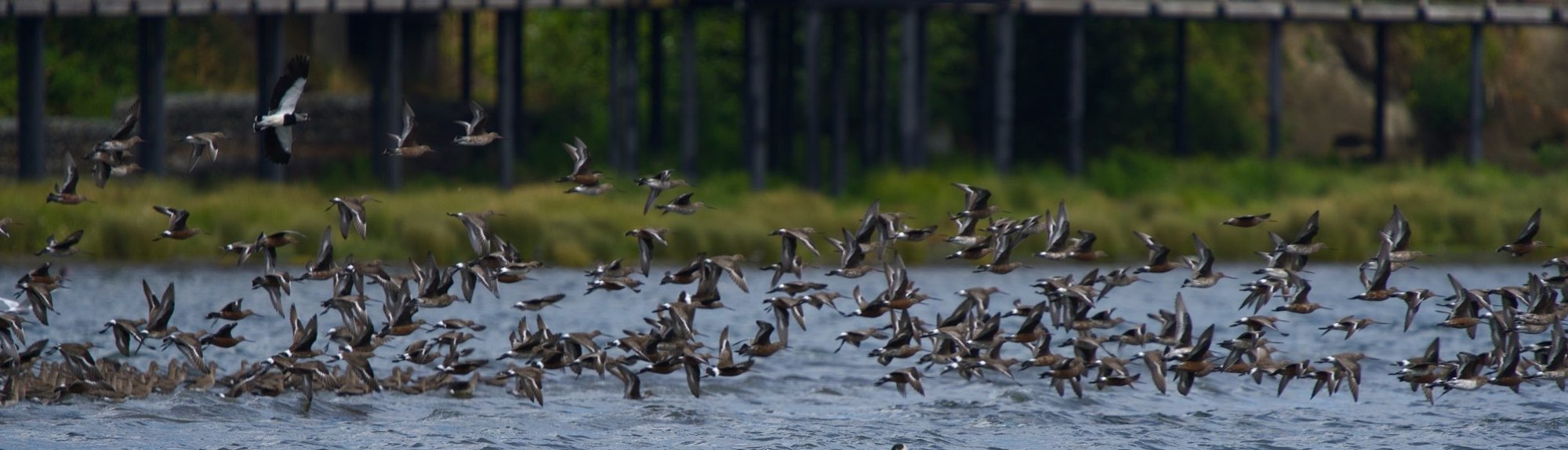
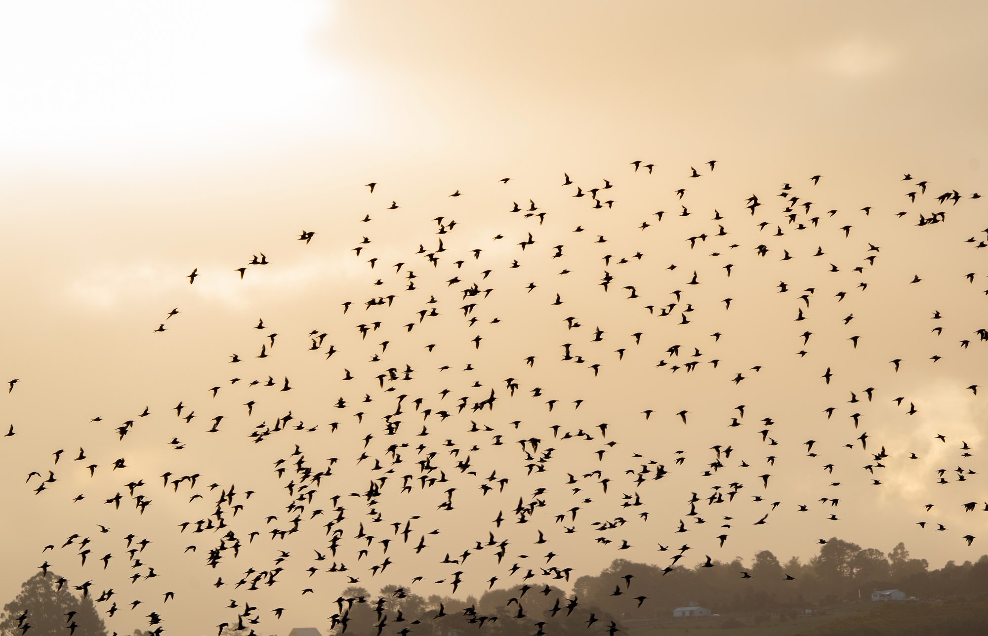
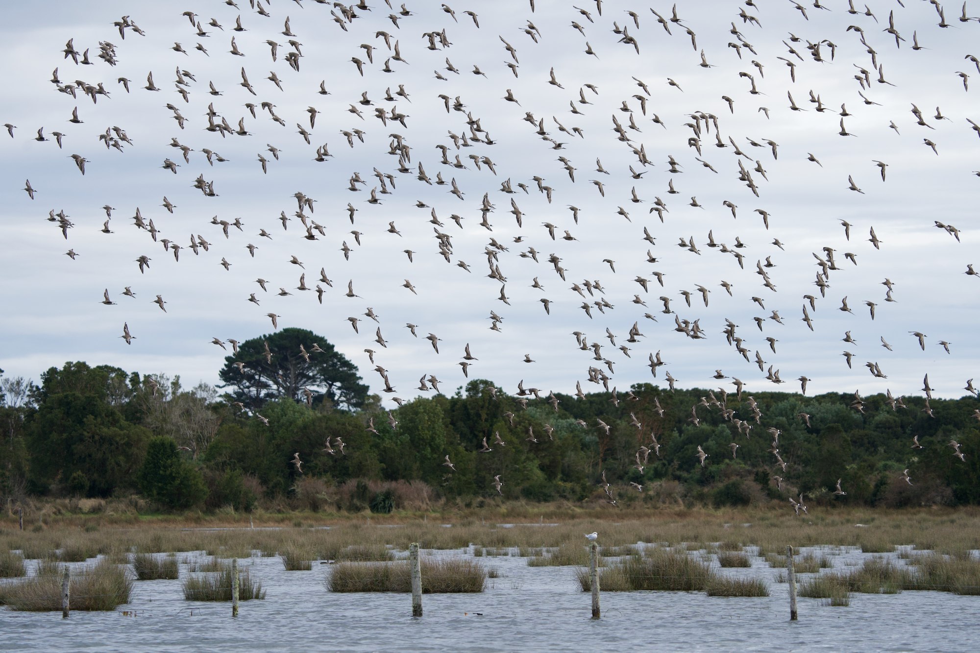
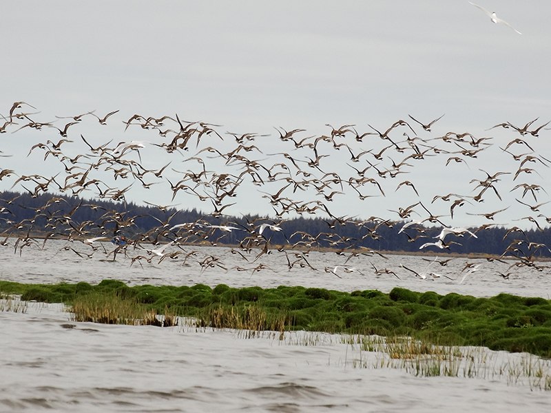
Every austral spring, thousands of birds that breed in North America arrive at the wetlands of southern Chile.
The Hudsonian godwit stays in the region roughly between September and late April, relying mainly on the intertidal flats to feed and build up the reserves it needs for its northward migration.
Maullín, Coihuín–Chamiza, and the eastern bays of Chiloé make up one of its main concentration systems in South America. Curaco de Vélez can host, in some years, more than a quarter of the Alaska-breeding population.
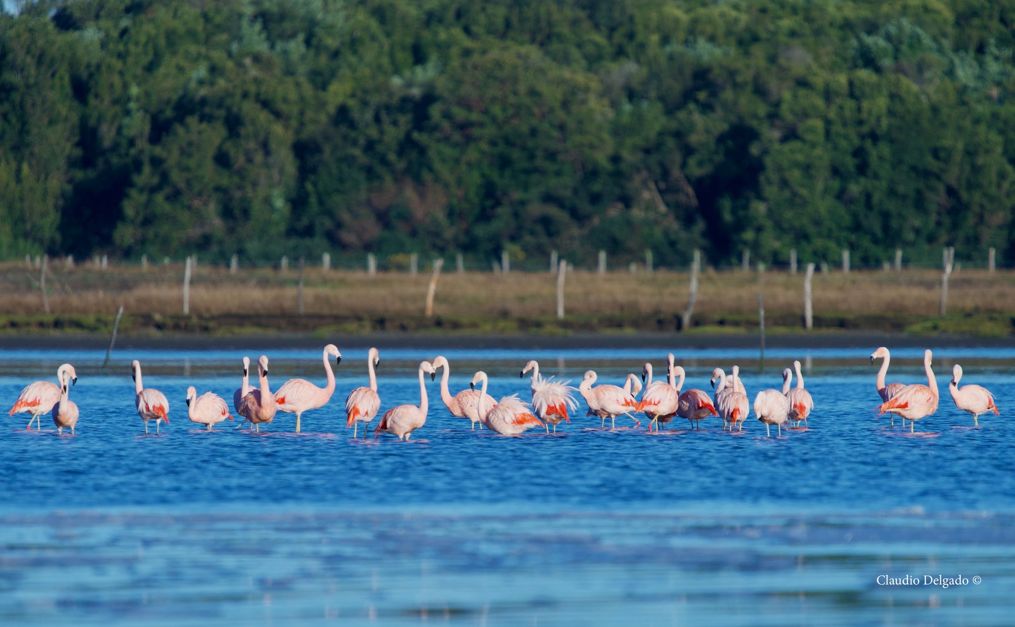
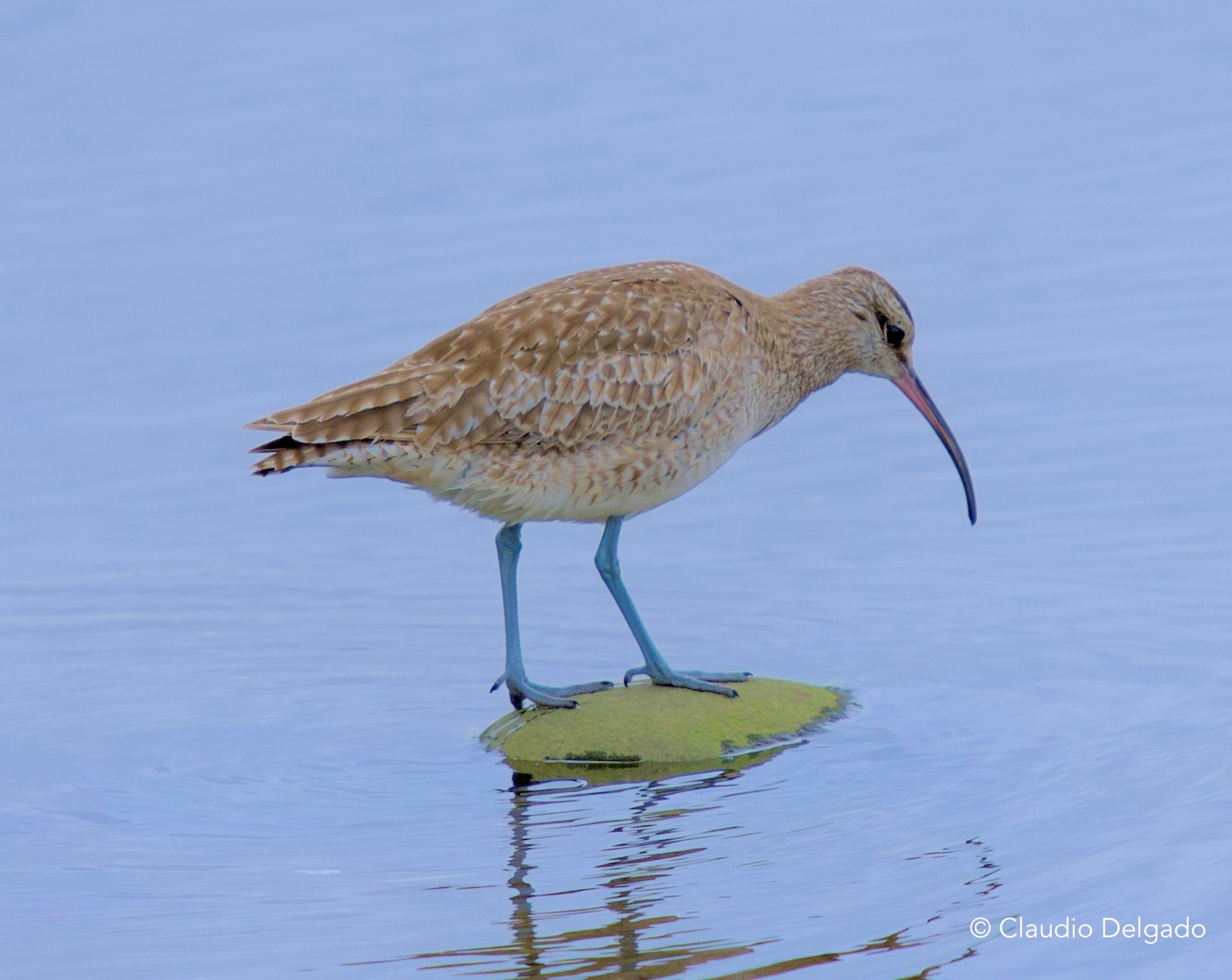
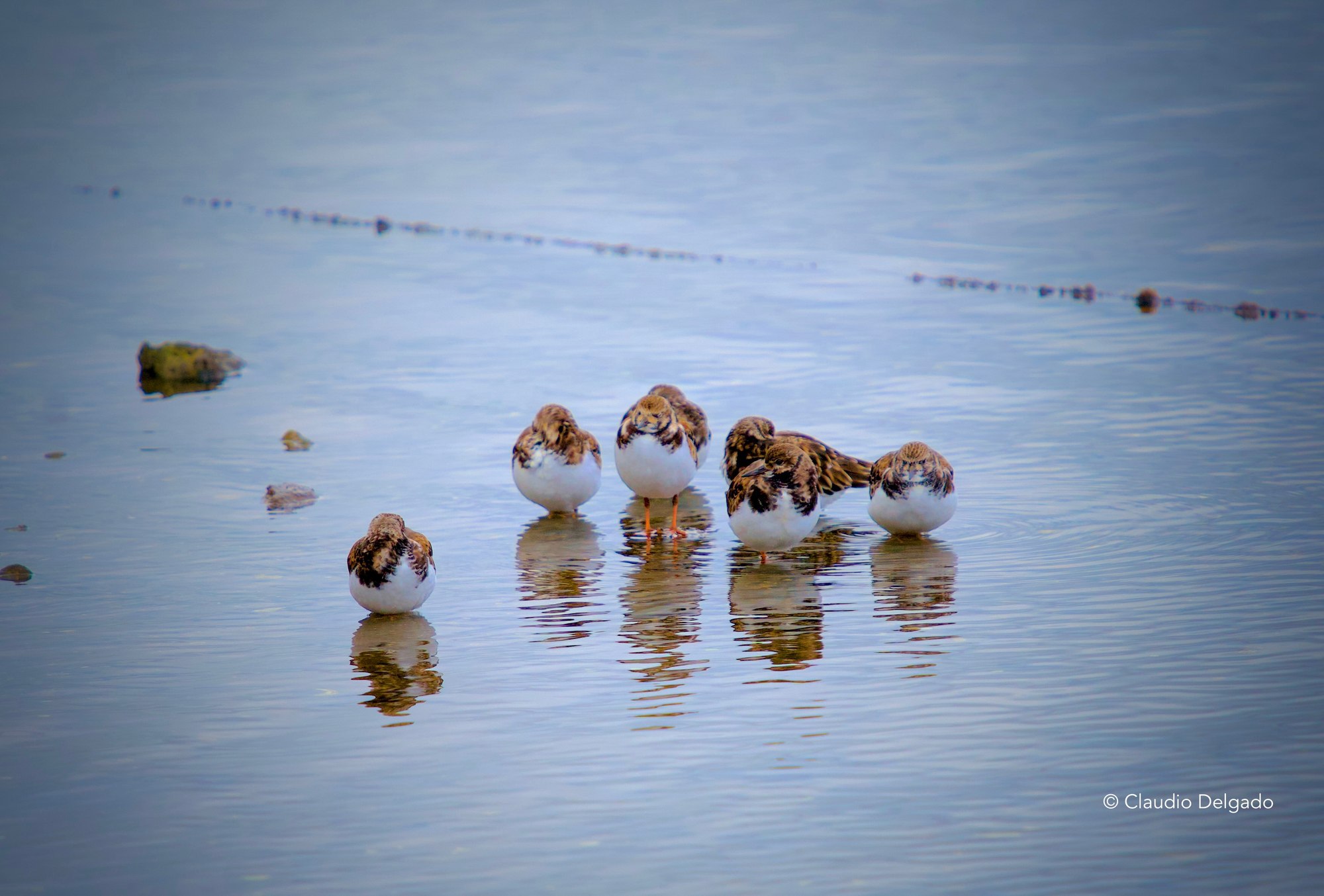
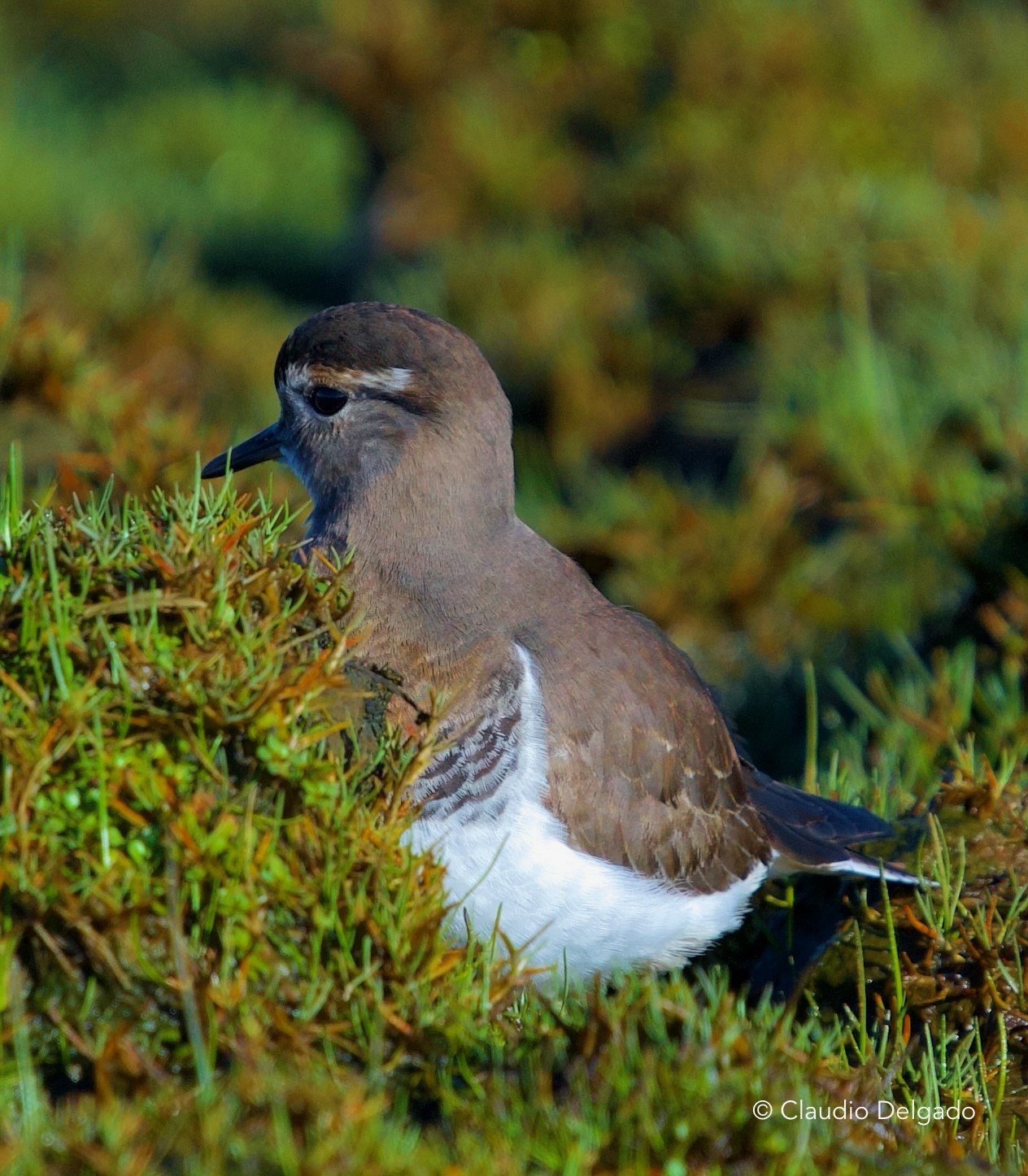
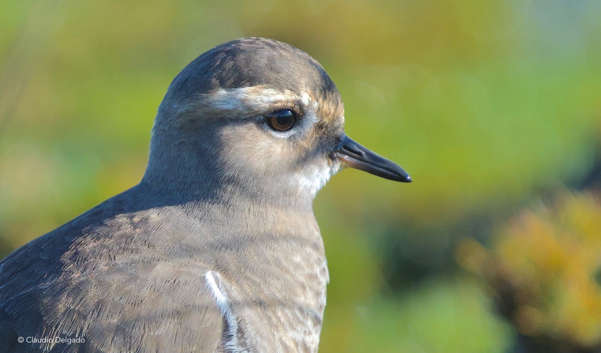
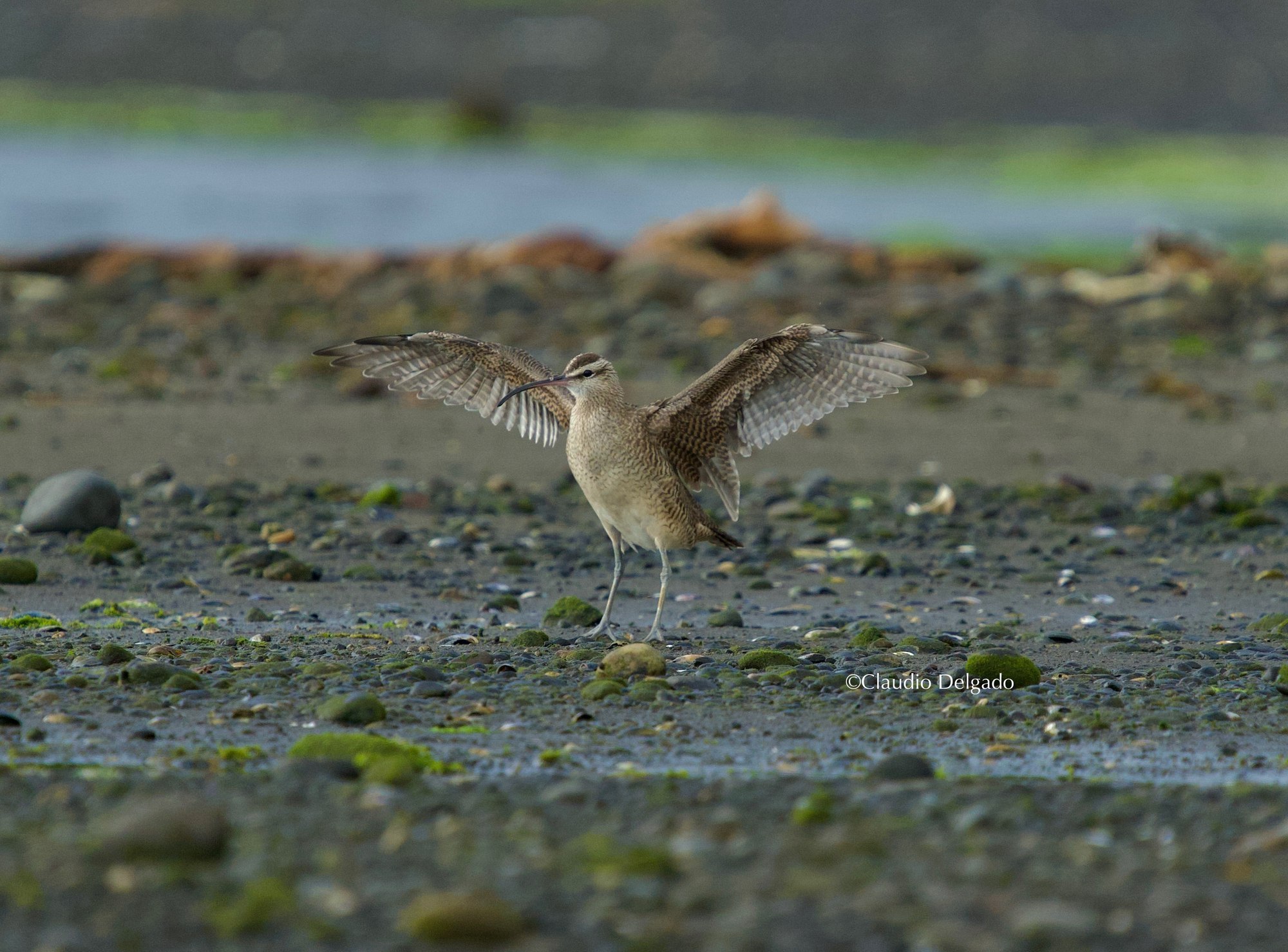
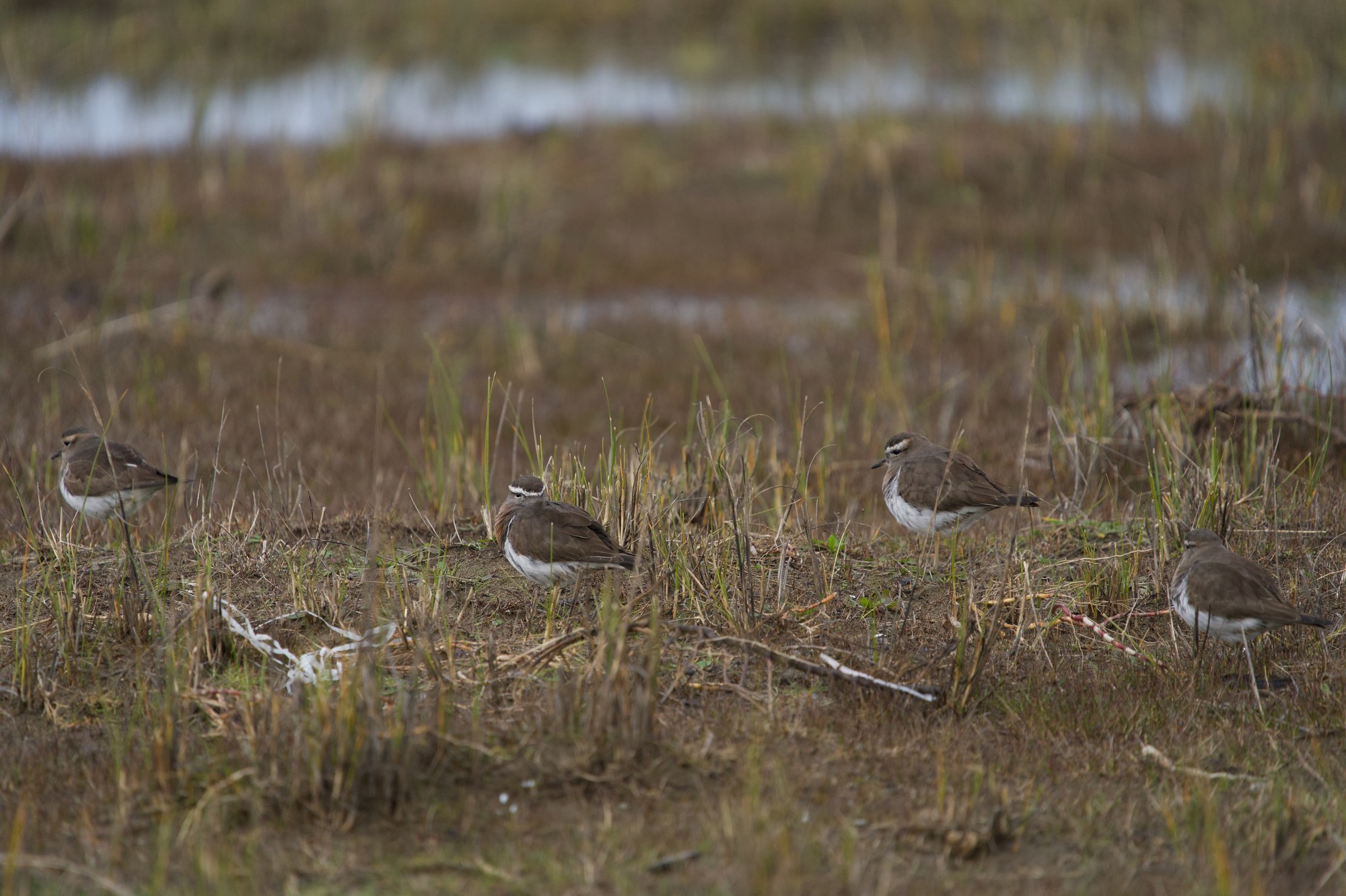
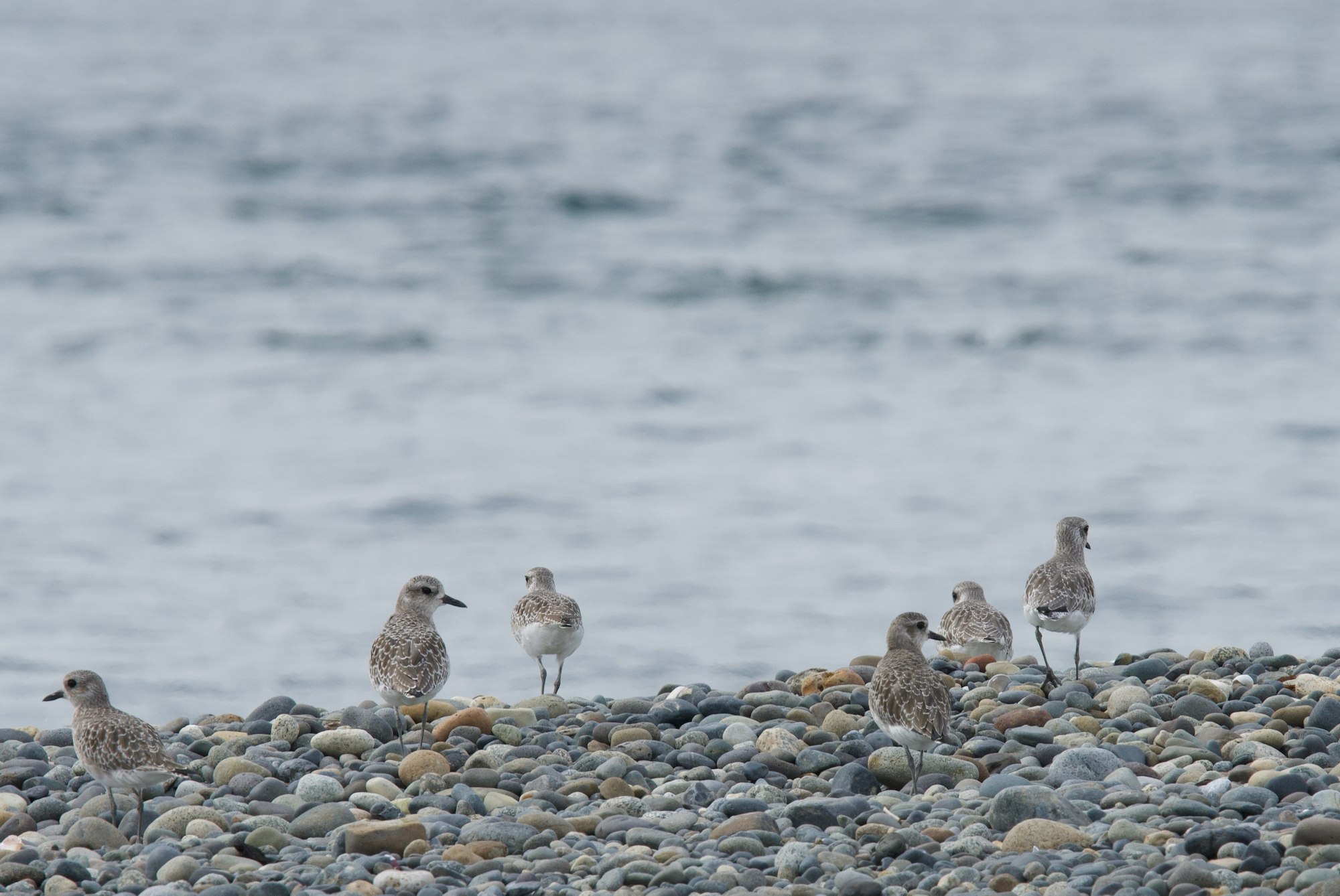
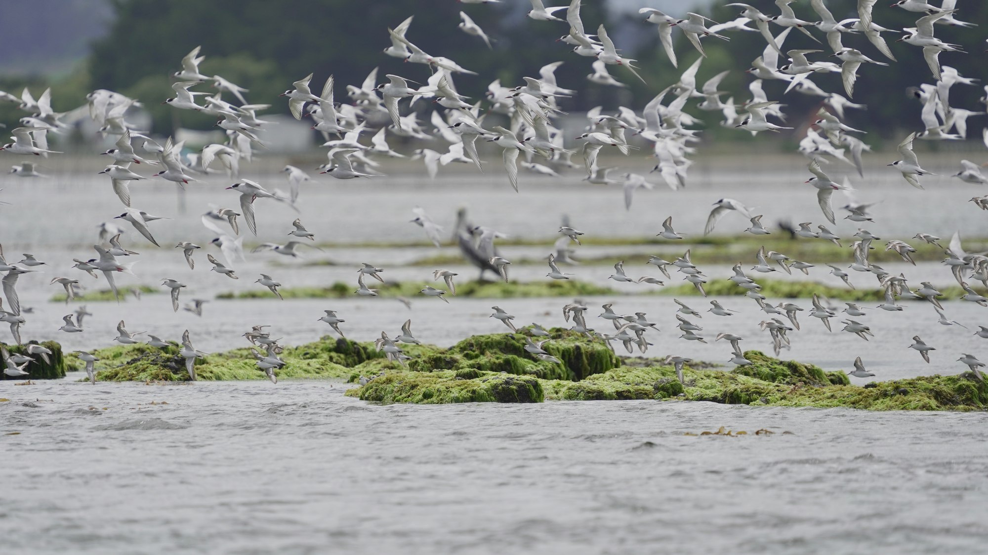
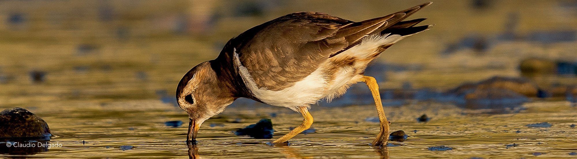
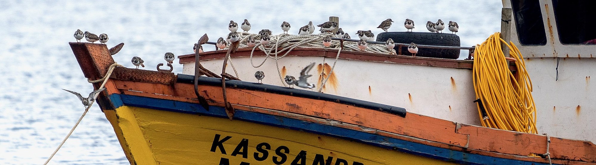
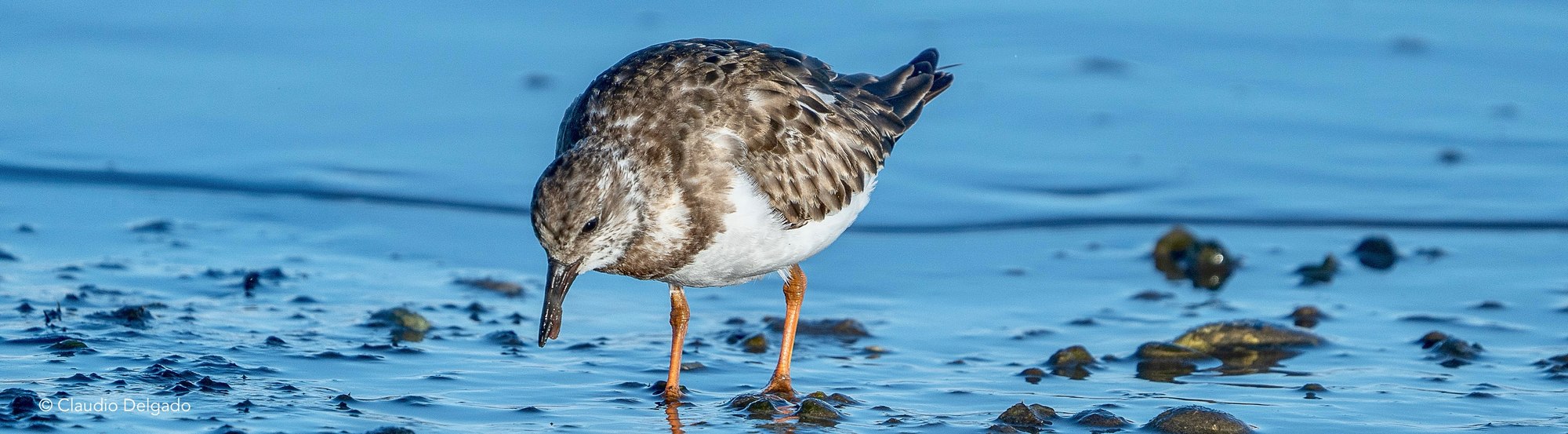
The corridor is also used by whimbrels (Numenius phaeopus), sandpipers, plovers, and numerous waterbirds. During fall and winter, large flocks of Chilean flamingo (Phoenicopterus chilensis) use its shallow waters and intertidal flats, moving among different wetlands.
Fundación Conservación Marina focuses a significant part of its work on four key sites in the corridor:
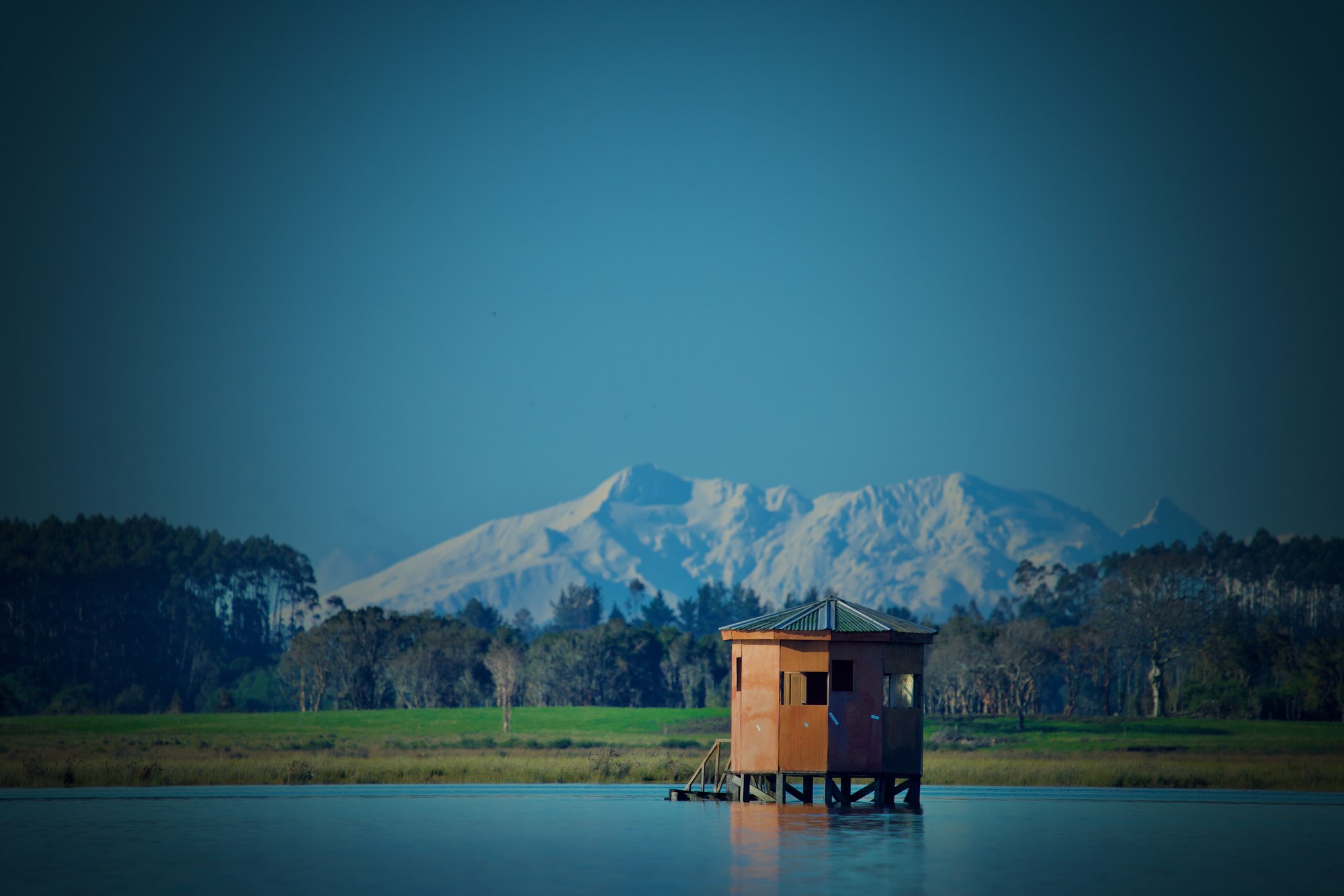
The Maullín River Wetlands Nature Sanctuary protects approximately 8,194 hectares of rivers, flooded forests, salt marshes, estuaries, beaches, and intertidal flats. Sectors such as La Pasada, Lepihue, Amortajado, and Quenuir hold significant populations of shorebirds, flamingos, swans, and other waterbirds.
At the mouth of the Chamiza River and the Reloncaví Sound, this system covers approximately 1,765 hectares of estuary, shallow waters, and intertidal flats used by thousands of birds. The Coihuín Marine Wetland is recognized by WHSRN as a Site of International Importance.
Protects 59.7 hectares of intertidal flats, salt marshes, beaches, and estuarine environments. It is one of the main feeding and resting sites for the Hudsonian godwit in Chiloé and is part of the Eastern Chiloé Wetlands Site of Hemispheric Importance within WHSRN.
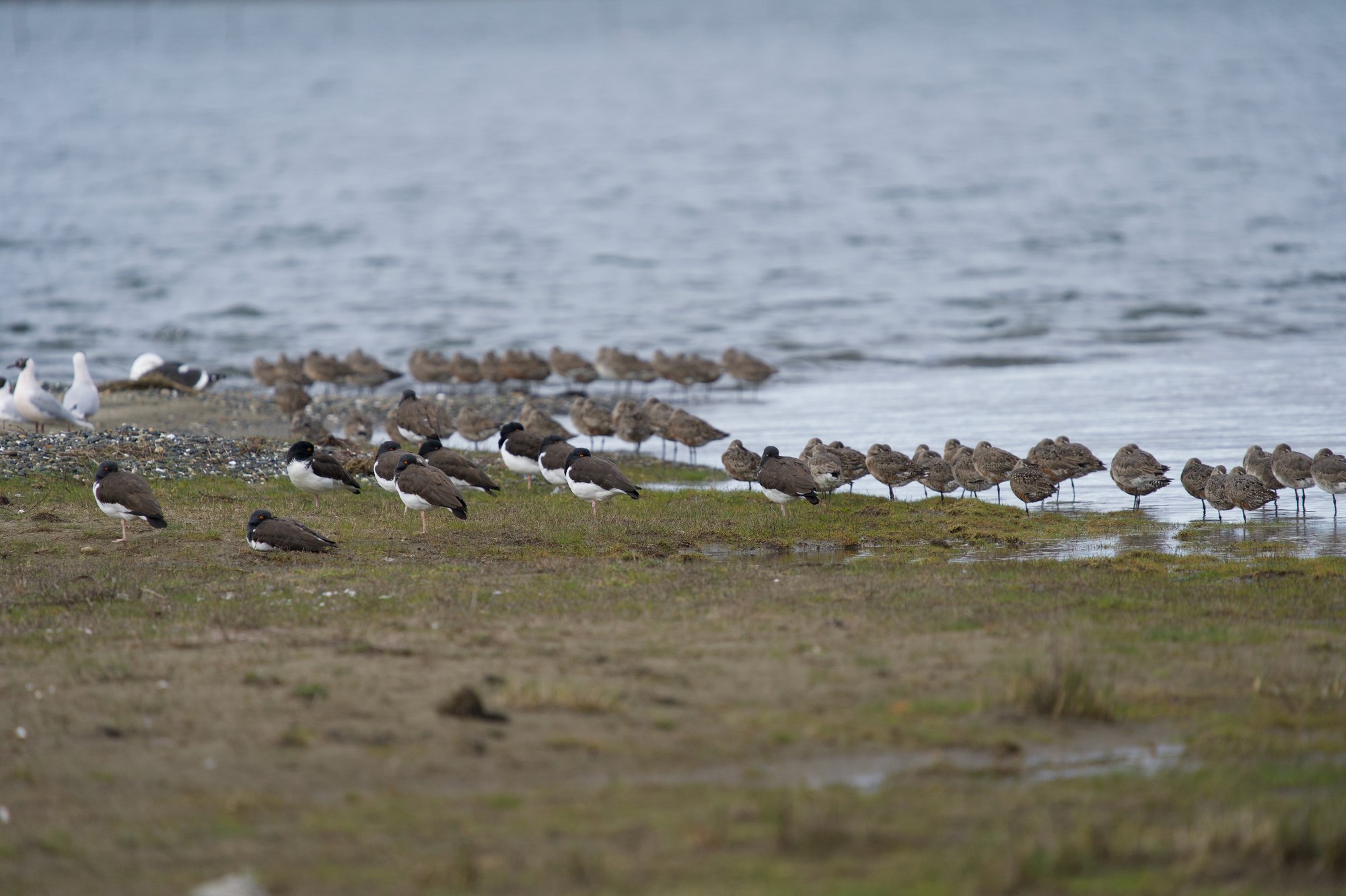
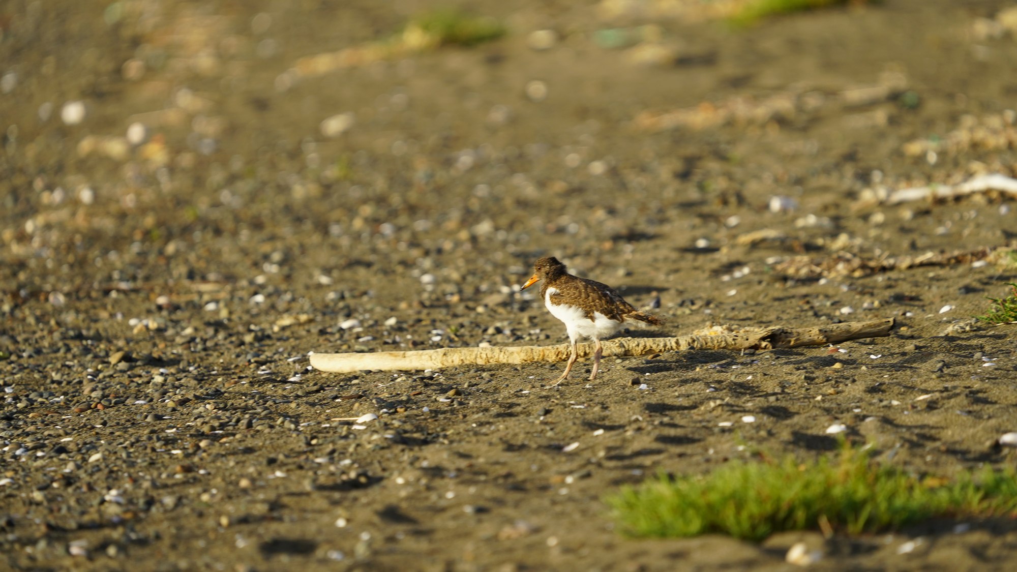
Protects 102.8 hectares of coastal environments on Quinchao Island. It is used by migratory birds and flamingos, and is also an important breeding site for the American oystercatcher. It is also part of the Eastern Chiloé Wetlands within WHSRN.
For more than 15 years, Fundación Conservación Marina has carried out research, monitoring, and conservation of shorebirds and coastal wetlands in the Los Lagos Region.
The work includes censuses, monitoring of priority sites, identification of feeding and resting areas, and threat assessment.
Protecting the corridor requires working together with those who live in and use these territories.
FCM collaborates with municipalities, Indigenous communities, local organizations, schools, tourism operators, researchers, and public agencies.
Migratory birds connect wetlands and continents. Their survival depends on a network of sites able to offer food, shelter, and safe resting areas throughout their entire annual cycle.
Conserving the Maullín–Chiloé corridor means keeping that network functioning.
Real Hudsonian godwit (Limosa haemastica) tracks: 5 individuals in Chiloé (2015–2017) and 2 in Maullín (2020–2021) fitted with Solar PTT-100/5gr satellite GPS tags. Each timeline runs independently based on that bird's own data. Use the button next to each name to play or stop its track, or the checkbox to show/hide its route on the map.
Full migratory journey (2016) of 3 Hudsonian godwits tagged in Chiloé: the outbound trip to breeding grounds in Alaska, time spent in the Arctic, and the return journey to Chiloé. Data obtained via Solar PTT-100/5gr satellite GPS.